Routes to Nowhere: How Phantom Transit Lines Are Misleading Millions of American Commuters
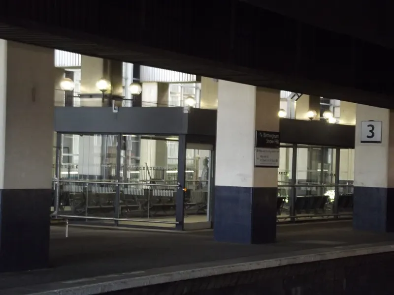
Photo: Elliott Brown (ell brown on Flickr) from Birmingham, United Kingdom, CC BY-SA 2.0, via Wikimedia Commons
Open nearly any transit navigation app in a mid-sized American city, and you will encounter a network that looks, on the surface, impressively comprehensive. Routes radiate outward from downtown cores. Stops appear at logical intervals. Scheduled departures populate timetables with reassuring regularity. Then you go stand at the stop—and nothing comes.
This is not a rare edge-case failure. It is a systemic condition affecting transit riders in cities large and small, from legacy systems in the Northeast to rapidly expanding networks in the Sun Belt. The routes are real in every digital sense: they exist in agency databases, they propagate to third-party apps, and they surface in trip-planning results. What they often lack is buses, trains, or any physical service whatsoever.
The Anatomy of a Phantom Route
Phantom routes—transit lines that appear in official data feeds but no longer operate, or never operated at the frequency or scope described—emerge from several distinct failure modes, often layered on top of one another.
The most common origin is service suspension without corresponding data updates. When an agency temporarily cuts a route due to a driver shortage, budget constraint, or infrastructure repair, the operational change frequently outpaces the data change. The route remains in the General Transit Feed Specification (GTFS) file that agencies publish to Google Maps, Apple Maps, Transit App, and dozens of other platforms. Days become weeks. Weeks become months. The phantom persists.
A second source is the aspirational route: service that was approved, funded in part, or announced publicly but never fully launched. In several cities, routes tied to federal grant applications were incorporated into official network maps before the grants were awarded or the vehicles were procured. When funding fell through or was delayed, the routes stayed on the map—a kind of digital wishful thinking with real consequences for commuters who built their schedules around them.
A third, more technical cause involves routing algorithm inheritance. When agencies migrate to new scheduling or mapping software, historical route data often transfers automatically. Discontinued lines from years or even decades prior can resurface in the new system, particularly if the migration process lacks rigorous data auditing. For older agencies managing networks that date back generations, this kind of digital archaeology can quietly populate modern apps with routes that last carried passengers during a different era of American transit entirely.
The Cost Commuters Bear
The practical consequences are not abstract. A commuter in suburban Atlanta who plans a trip using a transit app and arrives at a stop to find no service does not simply experience inconvenience. She may miss a medical appointment, arrive late to work, or abandon the attempt to use transit altogether—potentially permanently. Research on mode shift consistently identifies reliability as one of the two or three most important factors in whether a commuter chooses transit over driving. A network that cannot be trusted to show up, even on paper, corrodes the foundational premise of the entire system.
Customer service channels at transit agencies frequently receive complaints that reveal the depth of the problem. Riders report being directed by official trip planners to stops that have been physically removed, boarding points that now sit behind construction fencing, and transfer connections that assume a timed coordination between routes that no longer exists. Each of these failures represents a data integrity breakdown—one that the agency's own tools helped create.
For riders with limited transportation alternatives, the stakes are higher still. Low-income commuters who depend on transit and lack the financial cushion to absorb a missed connection or an unexpected rideshare fare are disproportionately exposed to the consequences of phantom route data. The digital network that was supposed to democratize transit information instead compounds existing inequities when it cannot be trusted.
Why Fixing the Feed Is Harder Than It Sounds
Agencies that recognize the problem often discover that correcting it requires navigating a surprisingly complex institutional landscape. GTFS files, the open-data standard that underlies virtually all transit app integrations in the United States, are typically maintained by a small team—sometimes a single staff member—within an agency's planning or technology department. When service changes are made operationally, the communication pathway to that team is not always reliable or timely.
Inter-agency coordination compounds the difficulty. In metropolitan areas served by multiple overlapping transit authorities—a common arrangement in regions like the San Francisco Bay Area, greater Chicago, or the sprawling transit patchwork of Southern California—each agency maintains its own GTFS feed. A route that crosses a jurisdictional boundary may be accurately represented in one agency's data and entirely absent or outdated in another's. Trip-planning apps that stitch these feeds together have no reliable mechanism for resolving the contradictions; they surface the data as provided and leave the commuter to encounter reality at the curb.
Legacy IT infrastructure creates additional friction. Many agencies operate scheduling systems that were not designed with open-data publishing in mind. Updating a GTFS feed requires a manual export-and-upload process rather than an automatic sync, meaning that every operational change introduces a window of inaccuracy that closes only when someone remembers to run the update.
What Forward-Thinking Agencies Are Doing
A growing number of transit authorities are treating data accuracy as an operational priority rather than a back-office administrative function. The approaches vary, but several practices have demonstrated measurable results.
Automatic GTFS synchronization—where changes made in scheduling software propagate directly to the published data feed without manual intervention—has been adopted by agencies including TriMet in Portland, Oregon, and the Massachusetts Bay Transportation Authority in Boston. Both organizations have invested in middleware that bridges their internal scheduling platforms and their public-facing data outputs, substantially reducing the lag between operational reality and digital representation.
Some agencies have introduced structured data auditing cycles, treating their GTFS files the way a financial department treats its accounts: subject to regular reconciliation against ground truth. Field verification teams physically confirm stop locations, service frequencies, and route alignments on a rolling basis, flagging discrepancies for correction before they accumulate into systemic inaccuracy.
Rider-reported feedback loops represent another promising mechanism. Platforms that allow users to flag stops as inactive or report missing service create a distributed verification network that can surface problems faster than internal audits alone. When that feedback is routed directly to data management staff rather than disappearing into a general customer service queue, agencies have demonstrated the ability to correct phantom entries within hours rather than weeks.
The Broader Imperative
The phantom route problem is, at its core, a data governance problem—and data governance is increasingly inseparable from the quality of the transit experience itself. As cities invest in mobility apps, real-time information systems, and integrated journey planning platforms, the value of all that technology depends entirely on the accuracy of the underlying data feeding it.
Commuters navigating a city should be able to trust that the route appearing on their screen reflects a service that will actually arrive. That trust, once broken by a trip to a stop that serves nothing, is difficult to rebuild. Transit agencies that treat their digital networks with the same operational seriousness they apply to their physical ones will be better positioned to retain riders, attract new ones, and make the case that public transit remains a credible alternative to driving.
The map and the territory need to match. Right now, for too many American commuters, they do not.